Russian and Chinese scientists predict glacier movement using data from unmanned aerial vehicles in Antarctica
Geographers from Tongji University (China), St Petersburg University and the Keldysh Institute of Applied Mathematics of the Russian Academy of Sciences have monitored Antarctic outlet glaciers using unmanned aerial vehicles for the first time. This method made it possible to: determine the topography and velocity of the glacier with high accuracy; and open up new possibilities for glaciological research in the southern polar region.
Tracking changes in the surface heights of the Earth’s glaciers and studying their topography is an important task for scientists. This is because glacier movement is a good marker of impending climate change. This is due to the fact that the plasticity of ice and its rate of spreading under gravity are directly related to ambient air temperature. Regular monitoring of glacier dynamics provides a medium- to long-term view of possible changes in sea level and climate trends, whether it be cooling or, conversely, warming.
The research findings are published in the International Journal of Applied Earth Observation and Geoinformation.
The scientists from St Petersburg University, together with other researchers from an international research team, studied an Antarctic glacier using data from unmanned aerial vehicles for this purpose. Dalk Glacier, which has been monitored by various specialists for the past 25 years, is located in East Antarctica adjacent to a permanent research station − Progress Station of Russia.
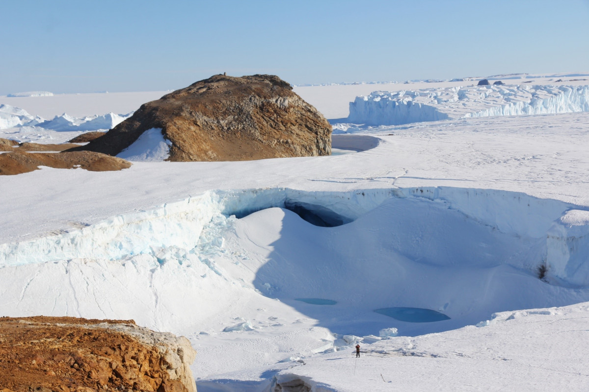
A few years ago, a large and deep crevasse of grandiose size by the standards of Antarctic glaciers was formed on the surface of the glacier. It was triggered by a collapse of an englacial reservoir, which had not become clear of ice during the period of instrumental observations. All this created unique conditions for studying and directly measuring hydrological processes taking place under the multi-kilometre thickness of the Antarctic glacier.
‘The first work to record the surface topography of Dalk Glacier in Antarctica using unmanned aerial vehicles was carried out by two Chinese expeditions in 2019 and 2020. We then compared this data with ground-based geodetic measurements and found that the maximum ice velocities observed at the terminus of Dalk Glacier are up to 310 metres per year. This figure is about 90 metres per year greater than that obtained from satellite-based studies over the same period. These research findings show that the use of our proposed methodology can dramatically improve the results of monitoring, and hence predictions based on glacier dynamics models,’ explained Sergey Popov, Associate Professor in the Department of Land Hydrology at St Petersburg University.
According to Sergey Popov, studying the state and movement of this glacier that is a kind of benchmark for researchers will improve the mathematical models under development by St Petersburg University experts. This opens up broad prospects for the study of another unique object on our planet − Lake Vostok, a subglacial lake that St Petersburg University researchers have also been working on for a long time.
The scientists note that the work undertaken not only improves the work on fixing the current state of Antarctic glaciers, but also opens up ample opportunities for Russian-Chinese cooperation in studying the margins of the Antarctic ice sheet, its dynamics and subglacial hydrological and geomorphological processes taking place on its bed.